The idea
Turn scattered mountain information into a spatial view that people can understand at a glance.
The connection
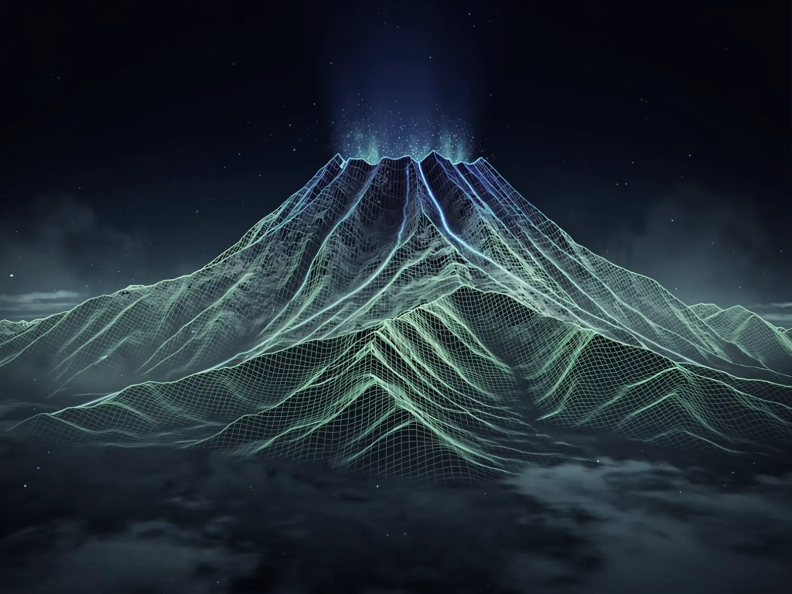
This combines a digital landscape with live observations. The authored insight is to give weather, roads and mountain conditions a shared physical context instead of presenting disconnected dashboards.
System design
The following structure makes the project concept inspectable and defines the implementation to demonstrate.
What would prove it
Demonstrate a normal update, a delayed feed and a missing feed on the same terrain. Compare a sample of displayed values and timestamps with the source observations.
The next complete milestone
A dependable digital twin needs explicit data age, consistent units, graceful missing-data behaviour and a tested low-power display mode. The terrain is an interface to observations, not a guarantee of current mountain safety.
Project record
A live 3D digital twin of Mt Ruapehu combining GeoNet, MetService, MET Norway and NZTA feeds with scraped field-station data from the mountain's ski areas, rendered as real-time Three.js terrain with a kiosk/TV display mode.
Source: the published APX project register, recovered 28 September 2026. This study explains the design direction and evaluation path; it is not a fresh audit of the product implementation.